


Abbasanta, a strategic area of Sardinia
The Municipality of Abbasanta is on the basaltic plateau of the same name, 30 kilometres from Oristano, in an area mainly of pastures, rich in springs and woods of cork oak and downy oak. The village is an important centre in Barigadu and owes its name to the ancient belief that its waters have curative properties.
A village of 2700 inhabitants, a slow food presidium for casizolu (typical cow cheese), Abbasanta has been known since ancient times; it is no coincidence that today it is at the centre of the main road artery, the state road 131.
It was known In Roman times as Ad Medias Acquas. The later Aba Sancta (holy water) is mentioned for the first time in the XII century. Human presence in the area dates back much earlier than the arrival of the Romans, that is to the Neolithic, as demonstrated by the dolmen of S’Angrone. The sacred well of Calegastea, the tomb of the Giants of Sos Ozzastros and numerous Nuragic complexes can be dated back to the Bronze Age. The most famous is Nuraghe Losa, three kilometres from the town. Another important nuraghe is the single-tower Zuras, dated between the 14th and 12th BC; you can see from its terrace other sites, such as the multi-lobed nuraghe Aiga, with the remains of a village from the mid-2nd millennium BC.
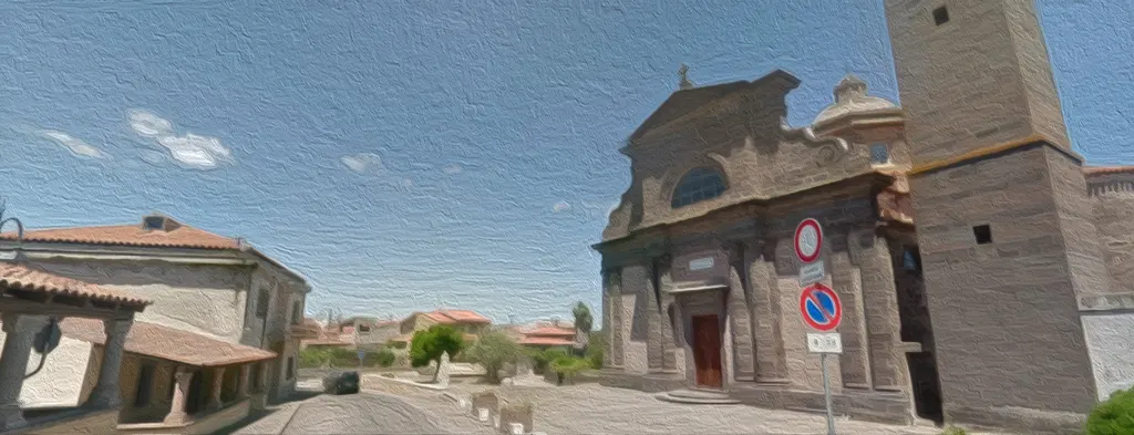
Arranged around the parish church of Santa Caterina d’Alessandria, the old centre of Abbasanta is very characteristic and enriched by the traditional basaltic stone houses. The church was built in the sixteenth century on the ruins of a nuraghe with a Catalan-Gothic structure, but was completely restructured in Renaissance style at the end of the nineteenth century.
If you love walks in the nature two location are particularly interesting. Parco di S. Agostino, a four hectares oak grove near the small church of Byzantine origin of S. Agostino, with its muristenes (small buildings inhabited during the celebrations of the saint). And the Springs of Bonorchis, a natural area not far from the tomb of the giants Su Pranu, the funerary area of Mesu Enas and the Domus de Janas.
The village’s economy bases today on small handicrafts (metal and cork processing), services and agro-pastoral farming, with the green areas heavily dedicated to cattle and sheep breeding.
An important horse-breeding centre is in the località ”Tanca Regia”.
The village hosts two heliports, dog units, some military depots, the Police Academy and the Hunters of Sardinia
The geographical position in the centre of the State Road 131 dcn (Abbasanta – Nuoro – Olbia) is strategic in Sardinia. The road network allows, in fact, easy connections with the Tirso valley, the Mandrolisai, the Barigadu and all the centres that overlook the Carlo Felice. You also find a in the village a railway station (FF.SS. – State Railways).